Welcome to the CHPS Website
CHPS Version 1.6 has been released. See Features for more details.
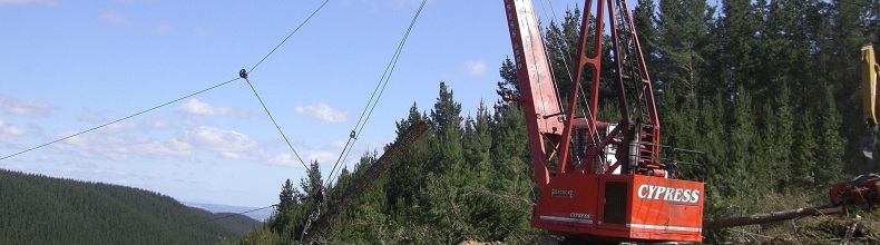
CHPS (Cable Harvest Planning Solution) is a dedicated forestry planning tool for analyzing terrain where cable haulers are used to extract logs. It is an extension integrated into Esri® ArcGIS™ for Desktop software, so is able to take advantage of a multitude of benefits afforded by this GIS platform.
The tool has been developed by Geographic Business Solutions (GBS) and Atlas Technology in collaboration with SCION Research Institute. Numerous companies from the forestry industry in New Zealand have participated actively in the project and have been giving feedback through all of the development process in order to get the best possible product for the forestry users.
What people say about CHPS
“GBS approached me to develop and test a set of payload calculations for use within their CHPS product. I based this work on similar calculations to those used within LoggerPC and SkylineXL. These calculations are supported by a large body of published research material, much of it from the Pacific Northwest region of USA, and are considered to be the industry standard. I provided GBS with a set of well tested calculations that they could integrate into CHPS. Using a rigid-link assumption the calculations model full and partial suspension, uphill and downhill yarding, clamping and non-clamping carriages, for four types of yarding systems (live, standing, running and multispan skylines). I am confident that the calculations used within CHPS are robust and represent the best available at this time.”
Professor Glen Murphy,
Chair in Forestry, Waiariki Institute of Technology, Rotorua, New Zealand. October 2013
See More...