The Map |
  
|
The Map |
|
The Map is where the majority of your time is spent while using CHPS. Yarders and Tailhold are placed on the Map to create Profile Groups and Profiles. Help for basic ArcMap functionality can be found on ArcGIS Resources.
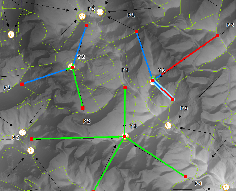
CHPS Profiles on the Map
There are two tools for placing new Profiles on the Map;
•The Create Auto Profiles Tool, and
•The Create Manual Profiles Tool.
Yarders and Tailhold can be selected using the standard ArcMap Select Elements tool which is also repeated in the CHPS Toolbar. A selected Profile will be outlined in blue. The Tailhold can be repositioned by clicking and dragging it to a new location on the Map. A selected Yarder will be highlighted in orange and can also be clicked and dragged to reposition it. Any changes to the location of a Tailhold or Yarder will result in affected Profiles being recalculated.
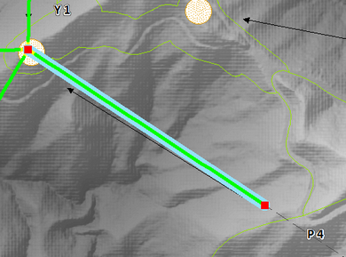
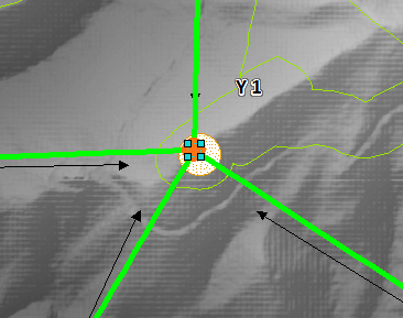
A selected Profile and Yarder
http://cableharvesting.com/help//5-The_Interface.The_Map.htm
Topic Last Updated: Tuesday, 13 September 2016